Porcupine / Beaver Creek
Status
In-Design
Location
Gallatin River (Beaver Creek & Porcupine Creek Trailhead)
Estimated Cost
$750,000
Background: Growing recreation pressure on the Upper Gallatin River is one of the largest threats to river health. In partnership with the Custer Gallatin National Forest (Forest Service), we have an ambitious plan to improve public access sites with the goal of repairing those damaged locations. Porcupine/Beaver Creek will be the third large-scale restoration project on the Gallatin River. Check out the Moose Creek Project and Upper Deer Creek Project to learn more about our work to restore the ecological health of the river and improve ease and safety of river access along the Upper Gallatin River Corridor.
Project Description: The Porcupine/Beaver Creek area was selected as a priority site for restoration due to the broad range and volume of use and the site’s proximity to the school district and local businesses. The project area includes the confluence of Beaver Creek and the Gallatin River and the Porcupine Creek Trailhead.
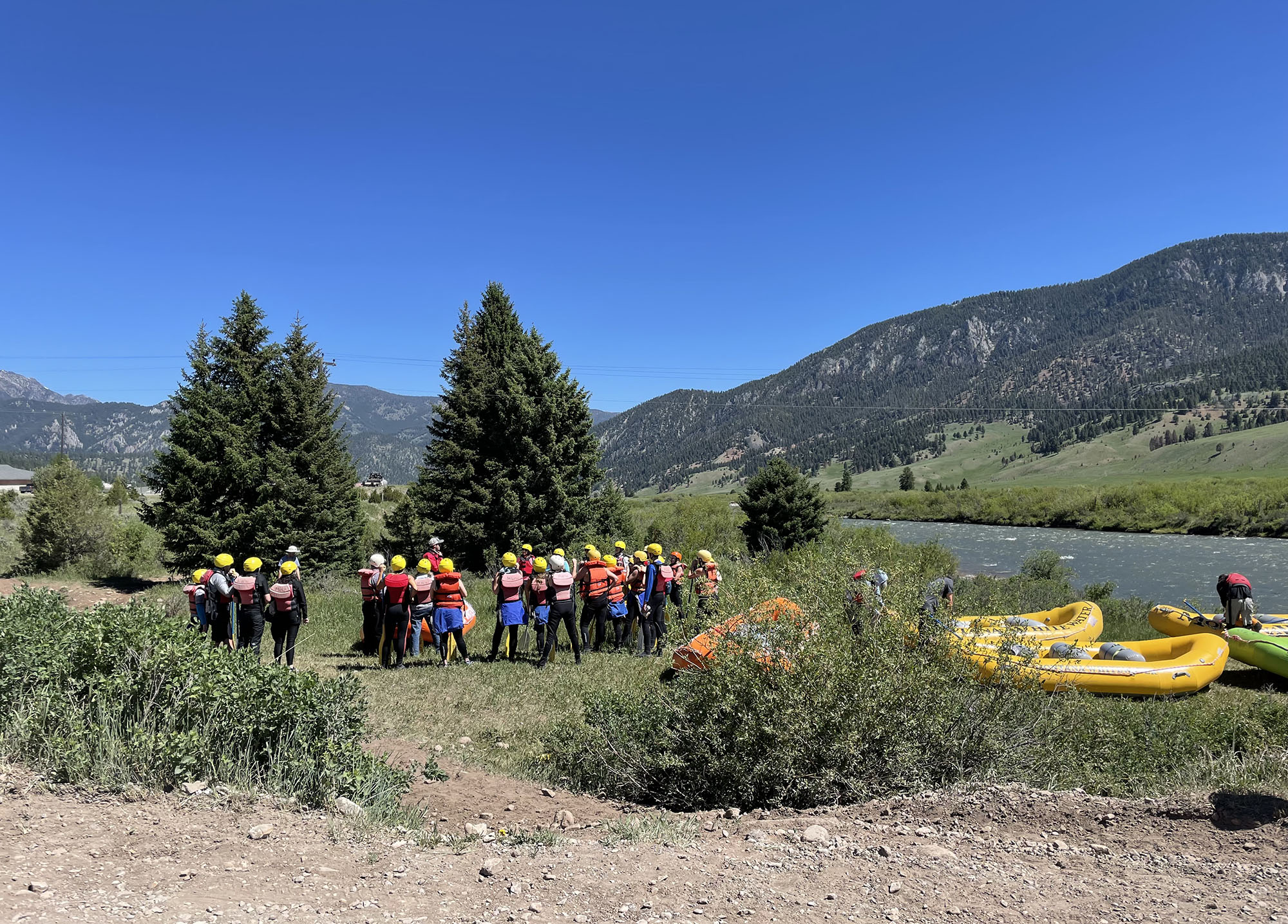
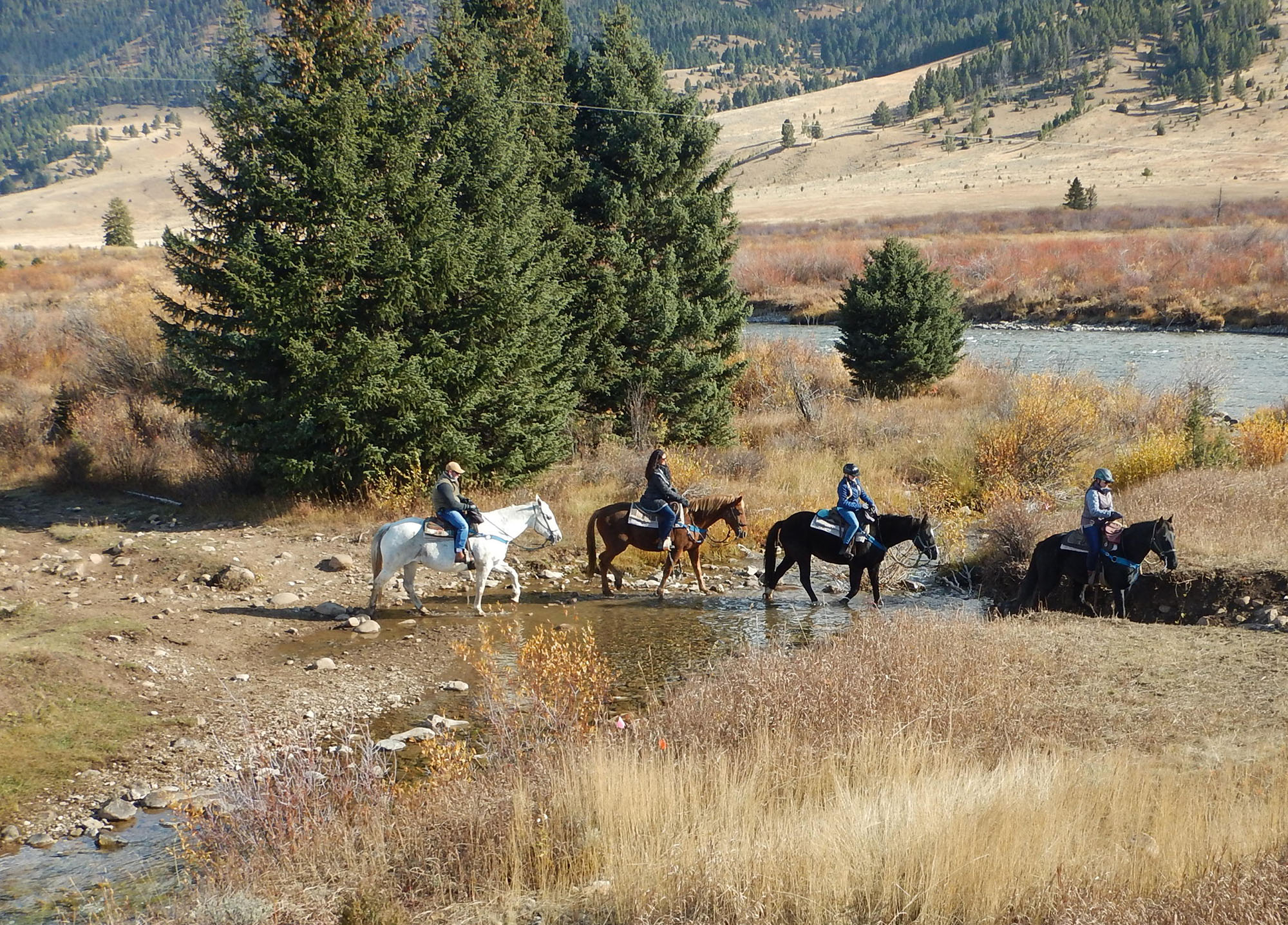
Raft outfitters and private boaters access the Gallatin River from the confluence of Beaver Creek and several horse outfitters cross at Beaver Creek to access the Porcupine Creek Trailhead. The equestrian trail intersects with boat access leading to conflicts when both user groups are utilizing the area at the same time. In addition to the need for recreational access improvements, several natural resource concerns have been identified including: erosion and sedimentation from repeated stock use, boat access, and vehicle traffic, degraded wetland and riparian conditions from Highway 191 road and bridge construction, a culvert at Beaver Creek that is an impediment to aquatic organism passage and fish access, and a culvert at Porcupine Trailhead that is not sized appropriately and often leads to flooding.
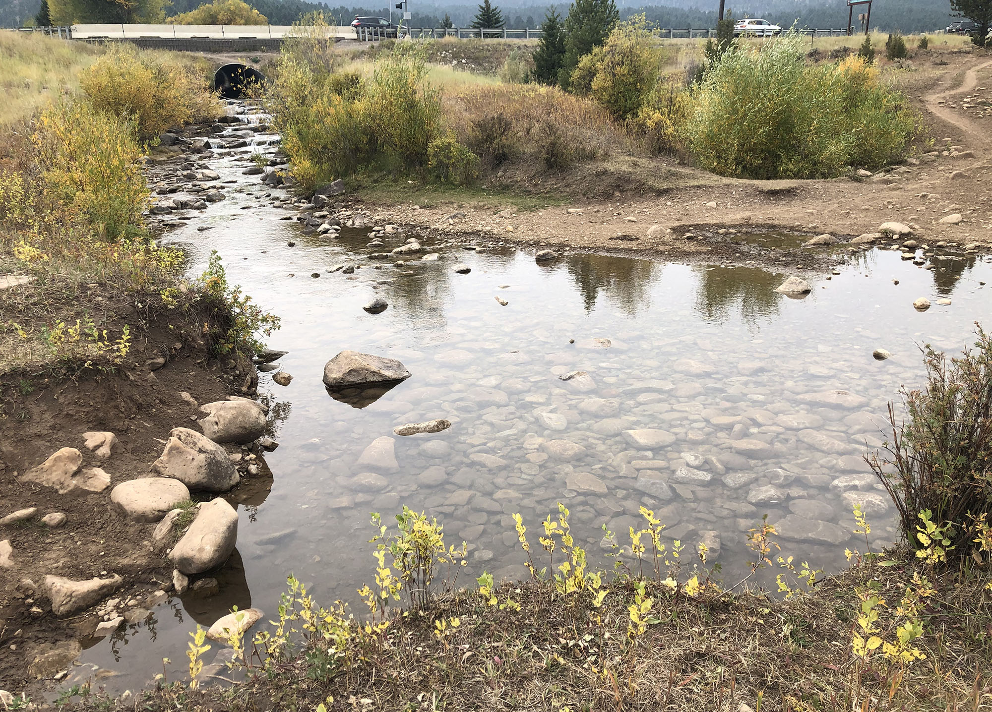
The culvert at the highway intersection is a fish barrier and the stream crossing is showing evidence of recreational use impacts including soil erosion, compaction, and damage to vegetation.
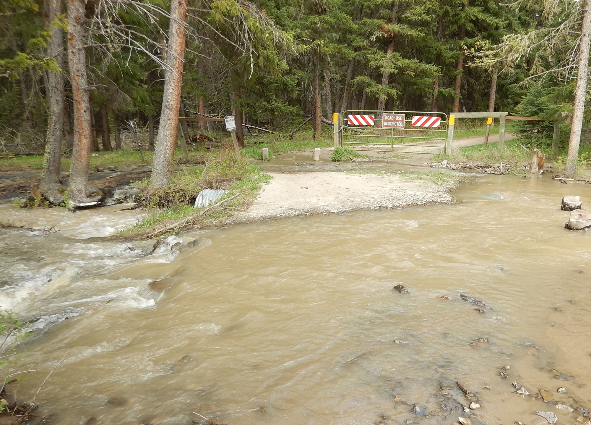
Flooding at the Porcupine Creek Trailhead is an issue during runoff and high streamflow conditions.
Proposed Improvements:
The primary goals are to improve recreational access, reduce conflicts between users, restore degraded stream, riparian, and wetland conditions, improve fish passage, and prevent vehicle and sediment pollution from entering the river. These goals will be met by achieving the following objectives:
- Trail improvements (i.e. trail splits/loops, pedestrian bridge at Beaver Creek).
- Designated river access (i.e. low-impact gravel boat launch or concrete boat ramp).
- Designated boat drop off and vehicle/trailer parking area.
- Beaver Creek stream channel restoration and floodplain reconnection (i.e. installation of step pool channel, brush matrix, soil lifts, etc.).
- Stormwater Best Management Practices (i.e. installation of culverts, drainage swales, road grading, drainage ponds, etc.).
- Riparian buffer enhancement (i.e. installation of riparian plants adjacent to steam channel and river access improvements).
Project Status:
Engineering design and fundraising is underway. The Forest Service has submitted an application for Great American Outdoors Act funding.
Resources:
Conceptual Design [PDF]
