
When the Gallatin dropped to baseflow in mid-August, the Task Force staff, board, and volunteers headed out to the river to count pebbles. Since then, we’ve spent countless hours measuring over 6,000 pebbles. Although laborious and time-intensive, pebble counts (as we affectionately call them) provide a powerful snapshot of fine sediment loads in our rivers and streams.

In case you were wondering how small 4 mm is, check out this nifty visual for standard bead sizes.
In case you were wondering how small 4 mm is, check out this nifty visual for standard bead sizes.
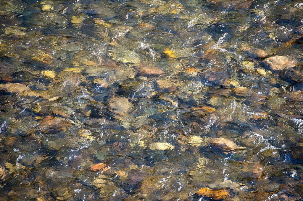
Sediment is the leading cause of river impairment in Montana. Sediment is a natural part of any river system; however, excess fine sediment (particles smaller than 4 mm) suggests human-induced erosion upstream. In addition, sediment destroys winter refuge for juvenile trout by clogging the spaces between larger pebbles in riffles on the riverbed. By counting pebbles, we can determine how much fine sediment has been deposited since the last high flow event. If the amount of fine sediment in the riffles (shallow, white water sections of the river) exceeds 20%, it is an indicator of poor water quality.
In order to minimize bias in our data, we follow Montana Department of Environmental Quality (Montana DEQ) protocol. Here is a step-by-step guide to counting pebbles paired with stunning images from Rich Addicks, renowned photo journalist and member of the Task Force Board of Directors.
-
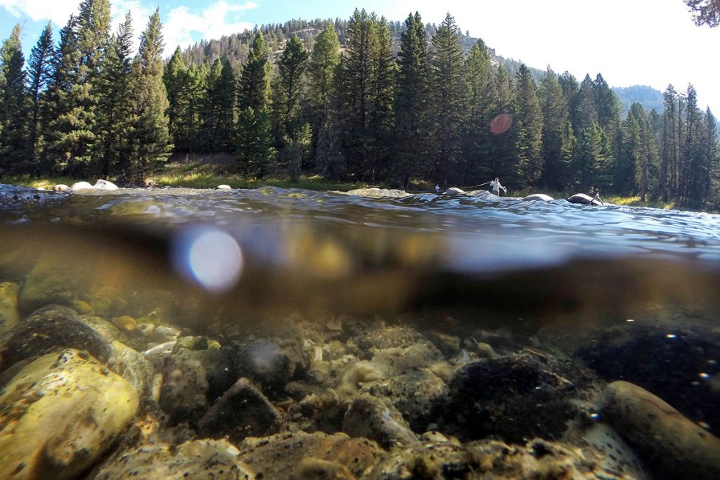
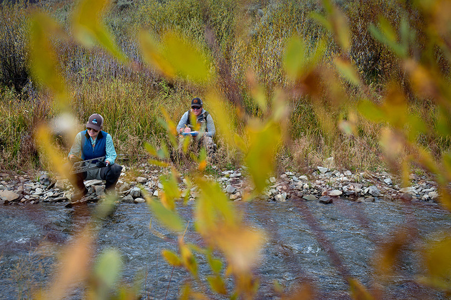
- Select your sampling sites. The Task Force monitors 16 sites on the mainstem Gallatin River and its tributaries. You will measure the size of at least 400 pebbles at each site.
-
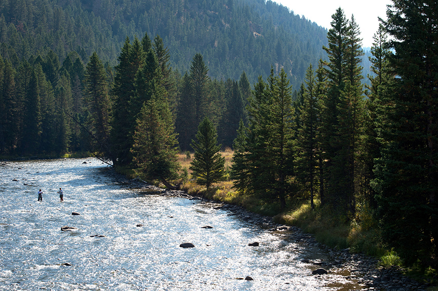
- Each monitoring site serves a purpose. Baseline data from our headwaters sites represents water quality conditions far from human influence.
-
- Sites farther downstream capture land use change. Our tributary sites suggest the impacts of residential and resort development.
-
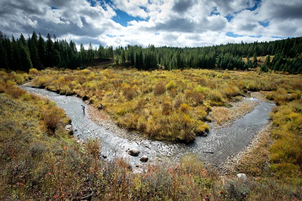
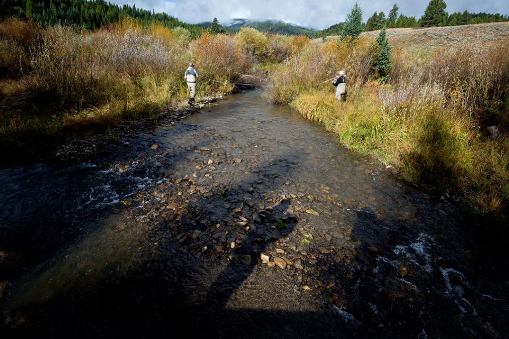
- Determine your site length. We do this by multiplying the average width of the river channel by 20.
-
- Mark the location of riffles (sections of shallow, white water) and pools (sections of deep, slow moving water). At most, you will sample in 4 different riffles per site.
-
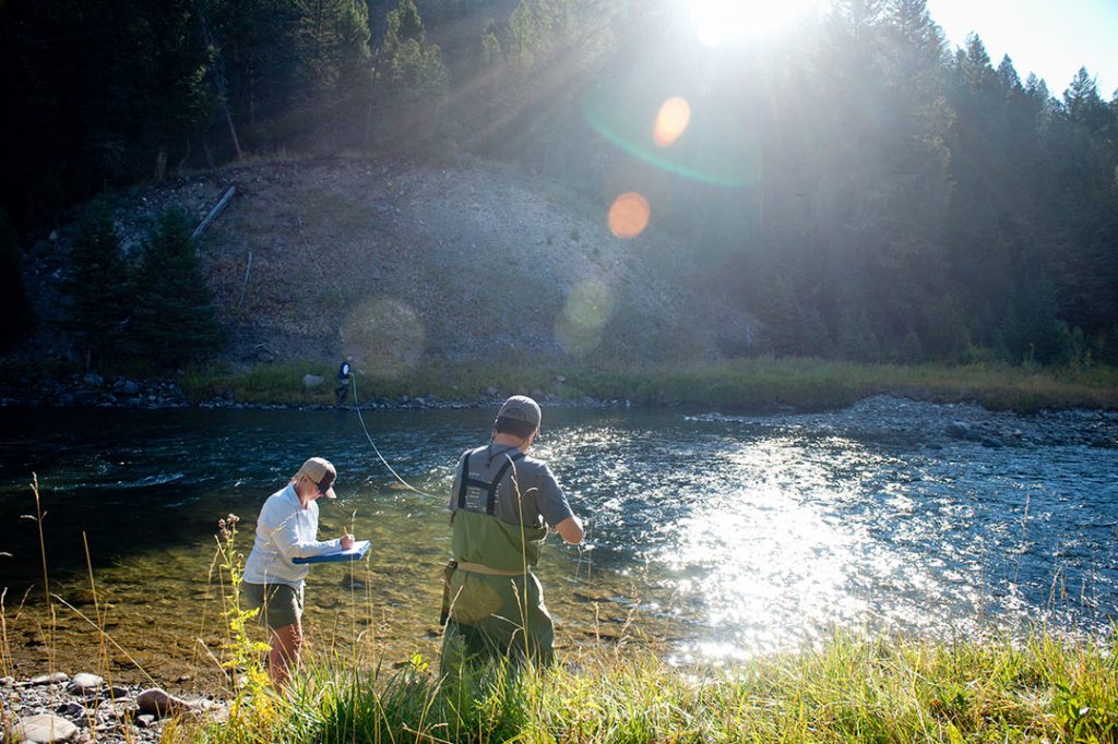
- Mark 4 transects, equally spaced in each riffle. Measure the width of each transect. This is where you will count pebbles. If you are sampling in 4 riffles, you will count 100 pebbles per riffle or 25 pebbles per transect.
-
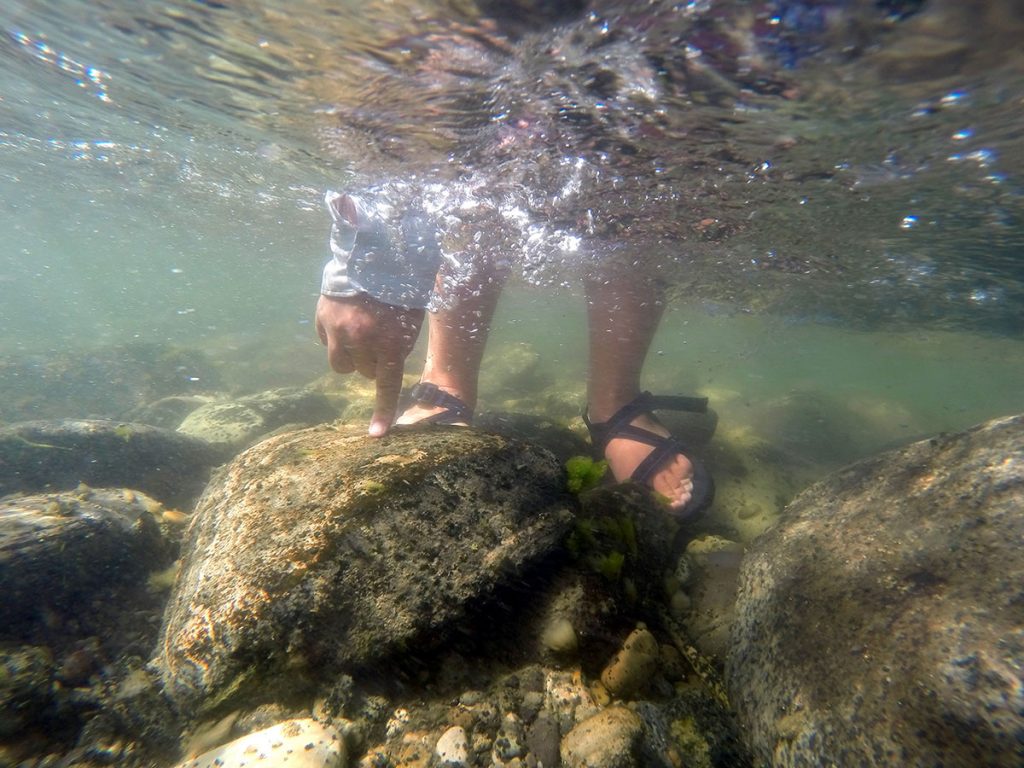
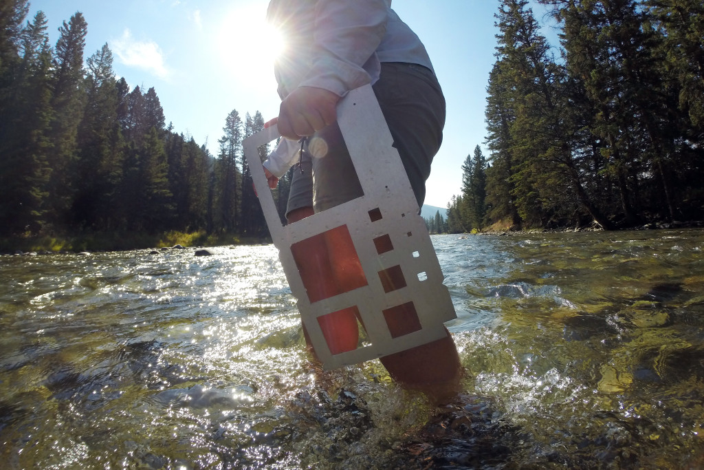
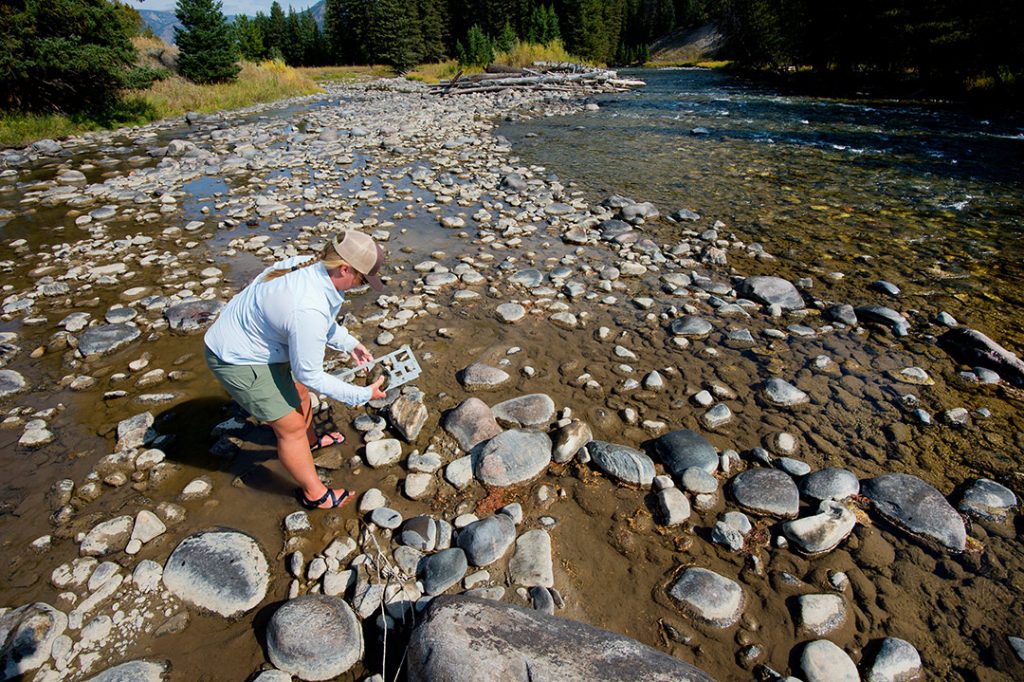
- Starting at the transect furthest downstream, bend over and pick up the first rock that your finger touches. Here, Andrea demonstrates exemplary pebble counting technique.
-

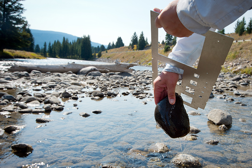
- Measure the pebble by fitting it through the appropriate hole in the gravelometer. If it fits through the 90 mm grid, the pebble is between 64.1 mm and 90 mm.
-
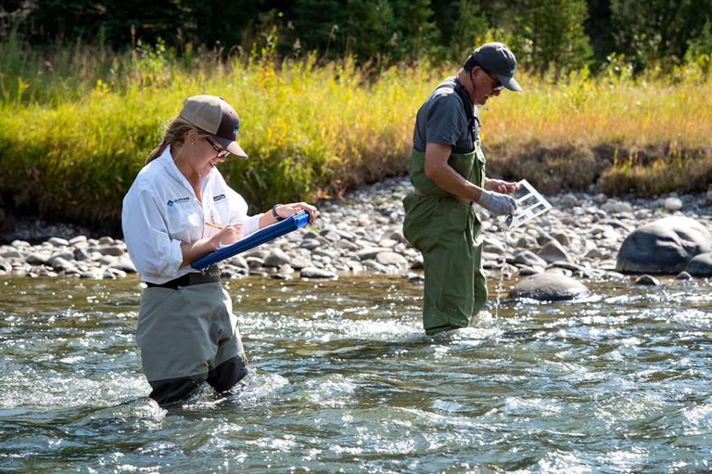
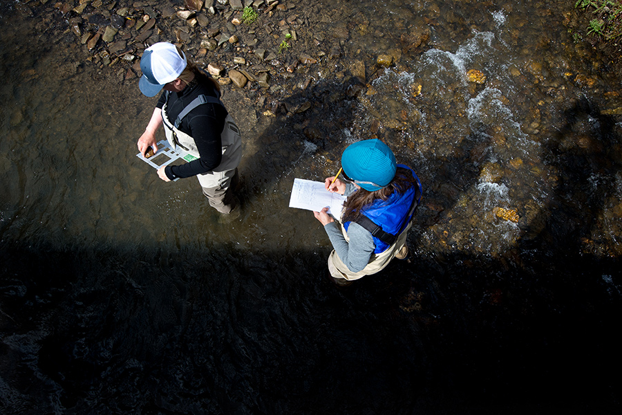
- Mark the size of the pebble in the appropriate column on your data sheet.
-
- Drop the pebble in the river downstream of you, take a small step forward, and repeat.
-
- Again…
-
- And again…
-
- At least 400 times!
-
- Smile! Science is fun!