We’re adding new sites to our Volunteer Water Quality Monitoring Program!
The Gallatin River Task Force Water Quality Monitoring team journeyed up Bighorn Trail, along the Gallatin River in Yellowstone National Park, and collected our first sample from a site within Park borders during our Spring 2015 sampling event. This is a special site, not only because it is in the world’s first national park, but also because it is a control site.
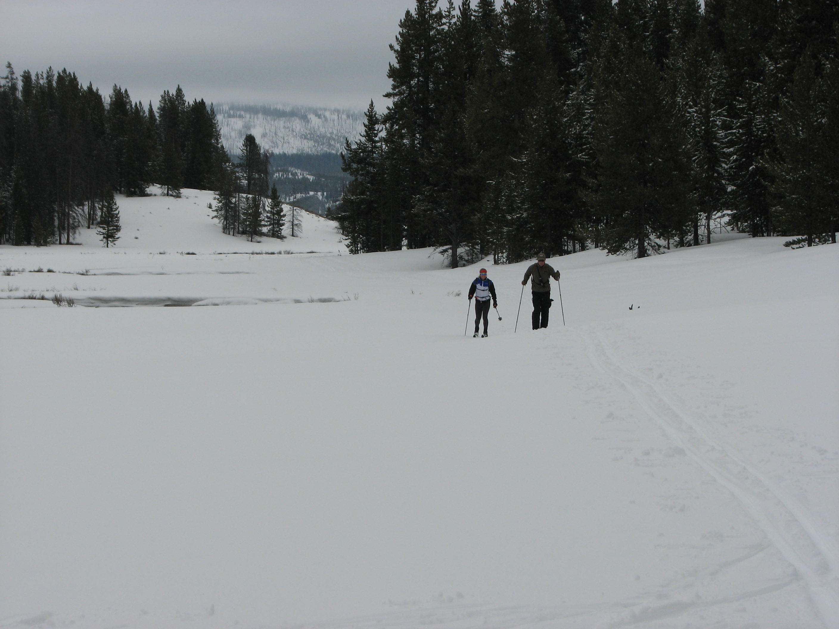
Board Chair, Ron Bowlin, and Big Sky Watershed Corps Members, Stephanie Lynn, head back from our inaugural member’s only back country ski and sampling event at our Big Horn site.
In theory, influences affecting water quality–due to human disturbance–should be minimal at the Bighorn site. This gives the Task Force a baseline for comparison.
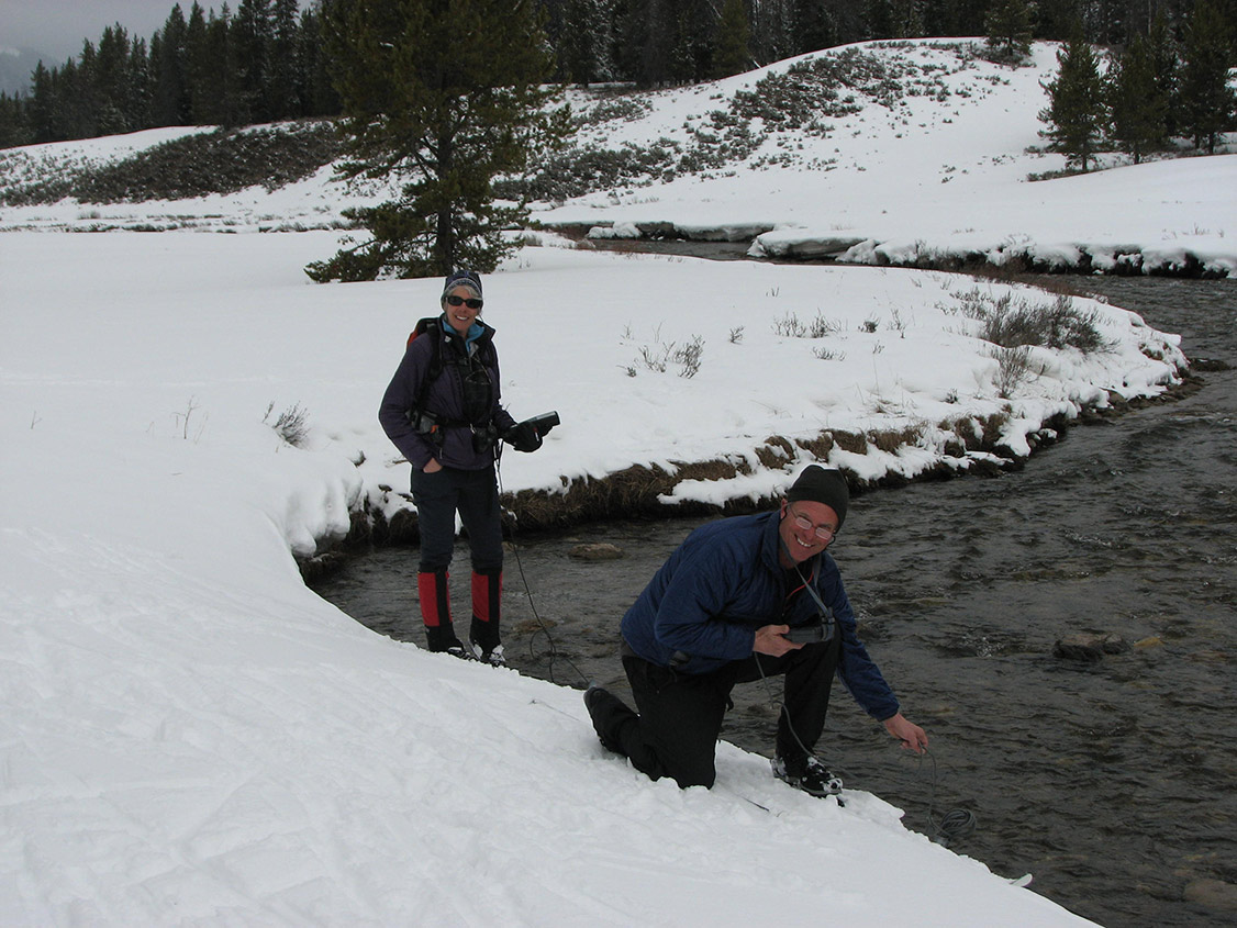
New members Steve and Carolyn Jones using water quality monitoring probes to measure indicators of river health, including: temperature, pH, and dissolved oxygen.
The event was also a Naturalist-led backcountry ski, so those who joined learned about water quality and Greater Yellowstone ecology! The Task Force will be inviting Friends of the Gallatin to join us for a Naturalist-led excursion into Yellowstone each time we journey into the Park for a sample.
During our Fall 2014 sampling event, we collected our first measurements and a water sample from the Taylor Fork, near the bridge that crosses Highway 191. Noticeable algae blooms were observed throughout the summer, and the Task Force decided to investigate possible sources causing these blooms. Beginning Summer 2015, the Water Quality Monitoring team will add an additional site upstream on the Taylor Fork to narrow down the possible source(s) that are contributing to the algae growth.
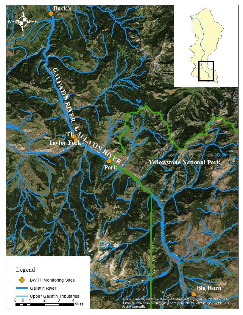
Map showing our new main stem Gallatin sites: Taylor Fork and Big Horn.
The nitrogen, phosphorous, and sediment levels in the Taylor Fork are of interest for many reasons. We have all noticed how the Gallatin River becomes ‘blown out’ during spring run-off, as well as after heavy rainfall in the summer. This is the result of naturally occurring calcium bentonite deposits in the drainage flushing into the Taylor Fork.
The Taylor Fork is also a popular recreational area for many of us: campers, hikers, bikers, fishers, horseback riders, and hunters to name a few. Consequently, there is a lot of streamside pressure, due to human activity and the proximity of the road.
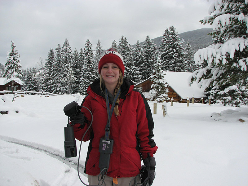
Meredith Hardy working hard collecting water quality data on a snowy day.
If erosion is occurring as a result of human disturbance, then that is something the Task Force can do something about. Revegetating the streambanks with native vegetation, such as willow–which naturally fixes nitrogen as well as stabilizes banks–aids in preventing erosion.
The goal of collecting data at these two sites on the Taylor Fork will be to determine if the sediment-loading that occurs during run-off events is primarily naturally occurring, or human-induced. Montanans for Healthy Rivers is working hard to have the Upper Gallatin, which will include the Taylor Fork, designated as Wild & Scenic, and the Task Force will be supporting their efforts with sound science and management plans.
Stay tuned for more information as we begin collecting our data!